 vesseltracker.com
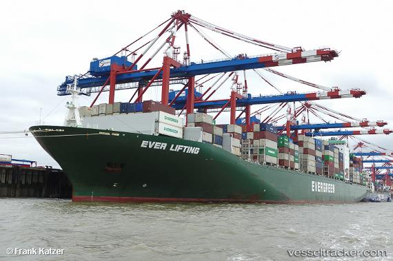
 Ever Lifting
Current Status
Where is the vessel?
Ever Lifting is currently in 326 nm NE of Levelwood, based on AIS data received less than 1h ago.
Latest AIS update:
Current position: 10.56266° S, 2.67906° W (326 nm NE of Levelwood)
Average speed (last 7 days): Loading…
Average speed (last 30 days): Loading…
Vessel profile: Ever Lifting is a Container Ship with dimensions 335m x 335m.
This page combines live AIS, route history, probable destination signals, nearby traffic, and port activity for practical vessel monitoring.
The current position of vessel Ever Lifting is -10.56266 lat / -2.67906 lng. Updated: 2026-04-06 15:35:23 UTCNearest reference points:
- 347 nm NE of Levelwood
- Open sea, approx. 402 nm off the nearest listed port
- Open sea, approx. 401 nm off the nearest listed port
Currently sailing under the flag of United Kingdom ![]()
Details:
Live Vessel Ever Lifting Analytics (details, animations, etc.)
Recent AIS points (UTC):
2026-04-06 10:19:32 UTC · -9.60954, -3.35656 · SOG 13.5 kn · COG 140°2026-04-06 12:20:24 UTC · -9.97194, -3.09690 · SOG 13.1 kn · COG 144°
2026-04-06 13:40:55 UTC · -10.21758, -2.92545 · SOG 13.3 kn · COG 141°
2026-04-06 15:35:23 UTC · -10.56266, -2.67906 · SOG 13.5 kn · COG 142°