 vesseltracker.com
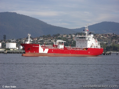
 Iver Blessing
Current Status
Where is the vessel?
Iver Blessing is currently in 15 nm S of Ambarli, based on AIS data received less than 1h ago.
Latest AIS update:
Current position: 40.70988° N, 28.66217° E (15 nm S of Ambarli)
Average speed (last 7 days): Loading…
Average speed (last 30 days): Loading…
Vessel profile: Iver Blessing is a Bitumen Tanker with dimensions 110m x 18m.
This page combines live AIS, route history, probable destination signals, nearby traffic, and port activity for practical vessel monitoring.
The current position of vessel Iver Blessing is 40.70988 lat / 28.66217 lng. Updated: 2026-04-22 08:03:51 UTCNearest reference points:
- 16 nm S of Kumport
- 17 nm S of Kumport
- Near Ambarli
Currently sailing under the flag of Gibraltar ![]()
Iver Blessing built in 2011 year
Deadweight:
6189 tDetails:
Live Vessel Iver Blessing Analytics (details, animations, etc.)
Recent AIS points (UTC):
2026-04-22 04:42:42 UTC · 40.75344, 28.68895 · SOG 1 kn · COG 132°2026-04-22 05:57:41 UTC · 40.73620, 28.68157 · SOG 0.9 kn · COG 135°
2026-04-22 07:05:47 UTC · 40.71844, 28.67375 · SOG 1 kn · COG 145°
2026-04-22 08:03:51 UTC · 40.70988, 28.66217 · SOG 6.1 kn · COG 357°