 vesseltracker.com
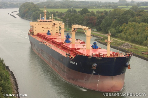
 FROSSO K
Current Status
Where is the vessel?
FROSSO K is currently in 19 nm NW of Umm al Quwain, based on AIS data received less than 1h ago.
Latest AIS update:
Current position: 25.83995° N, 55.37547° E (19 nm NW of Umm al Quwain)
Average speed (last 7 days): Loading…
Average speed (last 30 days): Loading…
Vessel profile: FROSSO K is a Bulk Carrier with dimensions m x m.
This page combines live AIS, route history, probable destination signals, nearby traffic, and port activity for practical vessel monitoring.
The current position of vessel FROSSO K is 25.83995 lat / 55.37547 lng. Updated: 2026-04-18 17:35:50 UTCNearest reference points:
- Near AJMAN
- Near Sharjah
- Near Al Hamriyah
Currently sailing under the flag of Gibraltar ![]()
Details:
Live Vessel FROSSO K Analytics (details, animations, etc.)
Recent AIS points (UTC):
2026-04-18 12:15:00 UTC · 25.75267, 55.20754 · SOG 0.3 kn · COG 338°2026-04-18 13:37:40 UTC · 25.74977, 55.21402 · SOG 0.4 kn · COG 350°
2026-04-18 15:59:51 UTC · 25.77327, 55.25524 · SOG 4.2 kn · COG 56°
2026-04-18 17:35:50 UTC · 25.83995, 55.37547 · SOG 4.6 kn · COG 60°