 vesseltracker.com
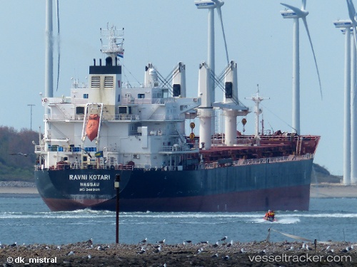
 AP KUPARI
Current Status
Where is the vessel?
AP KUPARI is currently in 284 nm NW of Porto Grande, based on AIS data received less than 1h ago.
Latest AIS update:
Current position: 20.77500° N, 27.85500° W (284 nm NW of Porto Grande)
Average speed (last 7 days): Loading…
Average speed (last 30 days): Loading…
Vessel profile: AP KUPARI is a Bulk Carrier with dimensions m x m.
This page combines live AIS, route history, probable destination signals, nearby traffic, and port activity for practical vessel monitoring.
The current position of vessel AP KUPARI is 20.77500 lat / -27.85500 lng. Updated: 2026-04-12 21:43:19 UTCNearest reference points:
- Open sea, approx. 400 nm off the nearest listed port
- Open sea, approx. 408 nm off the nearest listed port
- Open sea, approx. 409 nm off the nearest listed port
Currently sailing under the flag of Croatia ![]()
Details:
Live Vessel AP KUPARI Analytics (details, animations, etc.)
Recent AIS points (UTC):
2026-04-12 16:10:19 UTC · 21.56333, -26.96500 · SOG 12 kn · COG -1°2026-04-12 18:07:21 UTC · 21.27167, -27.27333 · SOG 12 kn · COG -1°
2026-04-12 20:04:54 UTC · 21.00375, -27.59621 · SOG 12 kn · COG 227°
2026-04-12 21:43:19 UTC · 20.77500, -27.85500 · SOG 12 kn · COG -1°