 vesseltracker.com
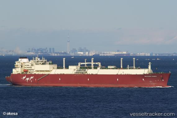
Woodside Rogers
Current StatusWhere is the vessel?
Woodside Rogers is currently in 270 nm E of Tan Cang Qui Nhon, based on AIS data received about 2h ago.
Latest AIS update:
Current position: 14.61061° N, 114.38939° E (270 nm E of Tan Cang Qui Nhon)
Average speed (last 7 days): Loading…
Average speed (last 30 days): Loading…
Vessel profile: Woodside Rogers is a Lng Tanker with dimensions 44m x 294m.
This page combines live AIS, route history, probable destination signals, nearby traffic, and port activity for practical vessel monitoring.
The current position of vessel Woodside Rogers is 14.61061 lat / 114.38939 lng. Updated: 2026-03-29 20:59:13 UTCNearest reference points:
- 282 nm E of Tan Cang Qui Nhon
- 232 nm E of Tan Cang Qui Nhon
- 222 nm E of Tan Cang Qui Nhon
Details:
Live Vessel Woodside Rogers Analytics (details, animations, etc.)
Recent AIS points (UTC):
2026-03-29 20:21:11 UTC · 14.73387, 114.47363 · SOG 13.8 kn · COG 216°2026-03-29 20:21:11 UTC · 14.73387, 114.47363 · SOG 13.8 kn · COG 216°
2026-03-29 20:59:13 UTC · 14.61061, 114.38939 · SOG 13.9 kn · COG 214°
2026-03-29 20:59:13 UTC · 14.61061, 114.38939 · SOG 13.9 kn · COG 214°