 vesseltracker.com
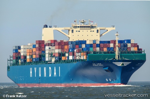
Maersk Enping
Current StatusWhere is the vessel?
Maersk Enping is currently in 44 nm E of JINHAI HEAVY INDUSTR, based on AIS data received about 1h ago.
Latest AIS update:
Current position: 30.05021° N, 123.07010° E (44 nm E of JINHAI HEAVY INDUSTR)
Average speed (last 7 days): Loading…
Average speed (last 30 days): Loading…
Vessel profile: Maersk Enping is a Container Ship with dimensions 48m x 366m.
This page combines live AIS, route history, probable destination signals, nearby traffic, and port activity for practical vessel monitoring.
The current position of vessel Maersk Enping is 30.05021 lat / 123.07010 lng. Updated: 2026-04-08 22:56:53 UTCNearest reference points:
- 45 nm E of JINHAI HEAVY INDUSTR
- 40 nm E of JINHAI HEAVY INDUSTR
- 43 nm E of ZHOUSHAN
Details:
Live Vessel Maersk Enping Analytics (details, animations, etc.)
Recent AIS points (UTC):
2026-04-08 15:56:47 UTC · 30.05021, 123.06807 · SOG 0.1 kn · COG 162°2026-04-08 17:56:48 UTC · 30.05039, 123.06868 · SOG 0.1 kn · COG 178°
2026-04-08 19:32:51 UTC · 30.05038, 123.06917 · SOG 0 kn · COG 191°
2026-04-08 22:56:53 UTC · 30.05021, 123.07010 · SOG 0 kn · COG 216°