 vesseltracker.com
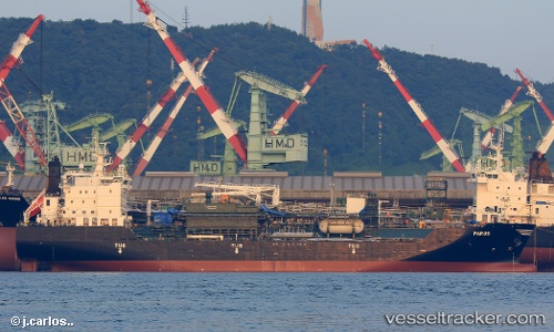
 Paros
Paros
Current Status
Where is the vessel?
Paros is currently in 46 nm E of Charlotteville, based on AIS data received about 1d ago.
Latest AIS update:
Current position: 11.18924° N, 59.77111° W (46 nm E of Charlotteville)
Average speed (last 7 days): Loading…
Average speed (last 30 days): Loading…
Vessel profile: Paros is a Lpg Tanker with dimensions 147m x 147m.
This page combines live AIS, route history, probable destination signals, nearby traffic, and port activity for practical vessel monitoring.
The current position of vessel Paros is 11.18924 lat / -59.77111 lng. Updated: 2026-04-10 07:43:54 UTCNearest reference points:
- 16 nm E of Galeota Point
- Near Caroni
- Near POINT LISAS
Currently sailing under the flag of Greece ![]()
Details:
Live Vessel Paros Analytics (details, animations, etc.)
Recent AIS points (UTC):
2026-04-10 01:23:54 UTC · 10.55156, -58.72542 · SOG 11.8 kn · COG 301°2026-04-10 03:51:55 UTC · 10.81139, -59.14538 · SOG 12 kn · COG 292°
2026-04-10 05:32:25 UTC · 10.97996, -59.41667 · SOG 10.8 kn · COG 290°
2026-04-10 07:43:54 UTC · 11.18924, -59.77111 · SOG 11 kn · COG 290°