 vesseltracker.com
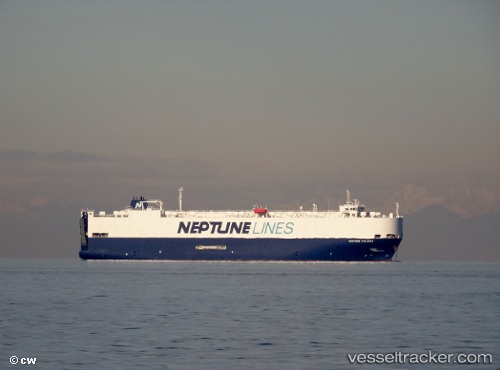
 NEPTUNE THALASSA
Current Status
Where is the vessel?
NEPTUNE THALASSA is currently in Near Yeniköy-Autoport, based on AIS data received less than 1h ago.
Latest AIS update:
Current position: 40.73130° N, 29.85601° E (Near Yeniköy-Autoport)
Average speed (last 7 days): Loading…
Average speed (last 30 days): Loading…
Vessel profile: NEPTUNE THALASSA is a Vehicles Carrier with dimensions m x m.
This page combines live AIS, route history, probable destination signals, nearby traffic, and port activity for practical vessel monitoring.
The current position of vessel NEPTUNE THALASSA is 40.73130 lat / 29.85601 lng. Updated: 2026-04-20 12:13:49 UTCNearest reference points:
- Near AUTOPORT
- Near Derince
- Near KORFEZ
Currently sailing under the flag of Greece ![]()
Details:
Live Vessel NEPTUNE THALASSA Analytics (details, animations, etc.)
Recent AIS points (UTC):
2026-04-20 07:52:47 UTC · 40.73126, 29.85600 · SOG 0 kn · COG 0°2026-04-20 10:02:09 UTC · 40.73128, 29.85600 · SOG 0 kn · COG -1°
2026-04-20 10:16:49 UTC · 40.73130, 29.85602 · SOG 0 kn · COG 0°
2026-04-20 12:13:49 UTC · 40.73130, 29.85601 · SOG 0 kn · COG 0°