 vesseltracker.com
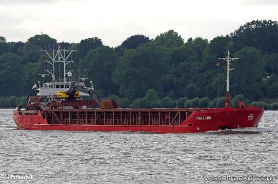
 KARIBOU
Current Status
Where is the vessel?
KARIBOU is currently in 15 nm W of Kefalos Ko, based on AIS data received less than 1h ago.
Latest AIS update:
Current position: 36.65592° N, 26.67255° E (15 nm W of Kefalos Ko)
Average speed (last 7 days): Loading…
Average speed (last 30 days): Loading…
Vessel profile: KARIBOU is a General Cargo with dimensions m x m.
This page combines live AIS, route history, probable destination signals, nearby traffic, and port activity for practical vessel monitoring.
The current position of vessel KARIBOU is 36.65592 lat / 26.67255 lng. Updated: 2026-04-20 12:13:19 UTCNearest reference points:
- Near KALYMNOS
- 20 nm S of Astypálaia
- 18 nm SW of PATMOS
Currently sailing under the flag of Greece ![]()
Details:
Live Vessel KARIBOU Analytics (details, animations, etc.)
Recent AIS points (UTC):
2026-04-20 07:51:40 UTC · 36.71643, 25.95283 · SOG 9.3 kn · COG 94°2026-04-20 10:05:19 UTC · 36.68697, 26.34086 · SOG 8.1 kn · COG 97°
2026-04-20 10:21:58 UTC · 36.68225, 26.38643 · SOG 7.9 kn · COG 97°
2026-04-20 12:13:19 UTC · 36.65592, 26.67255 · SOG 7.4 kn · COG 91°