 vesseltracker.com
 Paleisgracht
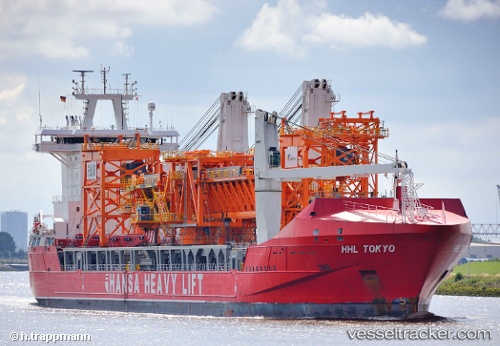
Current Status
Where is the vessel?
Paleisgracht is currently in Near Luanda, based on AIS data received less than 1h ago.
Latest AIS update:
Current position: 8.74351° S, 13.27218° E (Near Luanda)
Average speed (last 7 days): Loading…
Average speed (last 30 days): Loading…
Vessel profile: Paleisgracht is a Heavy Load Carrier with dimensions 168m x 26m.
This page combines live AIS, route history, probable destination signals, nearby traffic, and port activity for practical vessel monitoring.
The current position of vessel Paleisgracht is -8.74351 lat / 13.27218 lng. Updated: 2026-04-05 16:11:23 UTCNearest reference points:
- Near Luanda
- Near Greater Plutonio
Currently sailing under the flag of Netherlands ![]()
Paleisgracht built in 2011 year
Deadweight:
19496 tDetails:
Live Vessel Paleisgracht Analytics (details, animations, etc.)
Recent AIS points (UTC):
2026-04-05 09:41:16 UTC · -8.74530, 13.23634 · SOG 0 kn · COG 60°2026-04-05 12:02:21 UTC · -8.74531, 13.23672 · SOG 0 kn · COG 35°
2026-04-05 14:20:19 UTC · -8.74551, 13.24011 · SOG 0.2 kn · COG 303°
2026-04-05 16:11:23 UTC · -8.74351, 13.27218 · SOG 3.8 kn · COG 130°