 vesseltracker.com
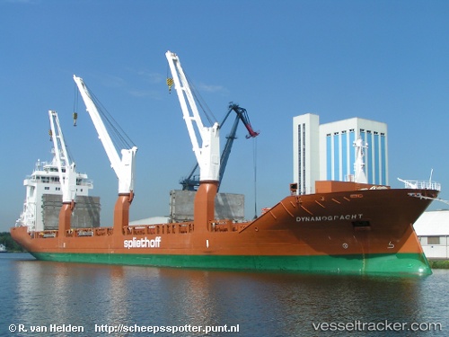
 Dynamogracht
Current Status
Where is the vessel?
Dynamogracht is currently in 15 nm N of Port Hedland, based on AIS data received about 21h ago.
Latest AIS update:
Current position: 20.04982° S, 118.58124° E (15 nm N of Port Hedland)
Average speed (last 7 days): Loading…
Average speed (last 30 days): Loading…
Vessel profile: Dynamogracht is a General Cargo Ship with dimensions 157m x 23m.
This page combines live AIS, route history, probable destination signals, nearby traffic, and port activity for practical vessel monitoring.
The current position of vessel Dynamogracht is -20.04982 lat / 118.58124 lng. Updated: 2026-04-10 07:26:32 UTCNearest reference points:
- 11 nm E of Port Walcot
- 116 nm NE of Mutineer
- 121 nm NE of Mutineer
Currently sailing under the flag of Netherlands ![]()
Dynamogracht built in 2010 year
Deadweight:
17967 tDetails:
Live Vessel Dynamogracht Analytics (details, animations, etc.)
Recent AIS points (UTC):
2026-04-10 01:38:27 UTC · -20.04923, 118.58100 · SOG 0.2 kn · COG 247°2026-04-10 04:11:04 UTC · -20.05005, 118.58097 · SOG 0 kn · COG -1°
2026-04-10 05:47:32 UTC · -20.04974, 118.58113 · SOG 0.1 kn · COG 267°
2026-04-10 07:26:32 UTC · -20.04982, 118.58124 · SOG 0.1 kn · COG 266°