 vesseltracker.com
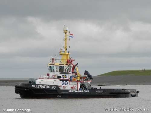
 Multratug 20
Current Status
Where is the vessel?
Multratug 20 is currently in 14 nm W of Thorntonbank, based on AIS data received less than 1h ago.
Latest AIS update:
Current position: 51.56417° N, 2.56150° E (14 nm W of Thorntonbank)
Average speed (last 7 days): Loading…
Average speed (last 30 days): Loading…
Vessel profile: Multratug 20 is a [tug.offshore_tug_supply] with dimensions 32m x 12m.
This page combines live AIS, route history, probable destination signals, nearby traffic, and port activity for practical vessel monitoring.
The current position of vessel Multratug 20 is 51.56417 lat / 2.56150 lng. Updated: 2026-04-08 05:58:31 UTCNearest reference points:
- 13 nm NW of Middelkerke
- Near Oostende
- Near Lombardsijde
Currently sailing under the flag of Netherlands ![]()
Multratug 20 built in 2010 year
Details:
Live Vessel Multratug 20 Analytics (details, animations, etc.)
Recent AIS points (UTC):
2026-04-08 00:03:09 UTC · 51.42065, 2.88820 · SOG 3.6 kn · COG 312°2026-04-08 01:45:10 UTC · 51.44417, 2.75317 · SOG 2.8 kn · COG 319°
2026-04-08 03:23:43 UTC · 51.48097, 2.66463 · SOG 2.3 kn · COG 287°
2026-04-08 05:58:31 UTC · 51.56417, 2.56150 · SOG 2.4 kn · COG 240°