 vesseltracker.com
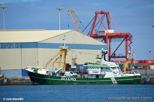
Uk456 Marie Jose
Current StatusWhere is the vessel?
Uk456 Marie Jose is currently in 151 nm NE of Tygda, based on AIS data received about 484d ago.
Latest AIS update:
Current position: 54.15085° N, 130.21150° E (151 nm NE of Tygda)
Average speed (last 7 days): Loading…
Average speed (last 30 days): Loading…
Vessel profile: Uk456 Marie Jose is a Fishing Vessel with dimensions 9m x 35m.
This page combines live AIS, route history, probable destination signals, nearby traffic, and port activity for practical vessel monitoring.
The current position of vessel Uk456 Marie Jose is 54.15085 lat / 130.21150 lng. Updated: 2024-12-23 05:50:15 UTCDetails:
Live Vessel Uk456 Marie Jose Analytics (details, animations, etc.)
Recent AIS points (UTC):
2024-12-23 05:50:15 UTC · 54.15085, 130.21150 · SOG 0.1 kn · COG -1°