 vesseltracker.com
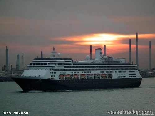
Volendam
Current StatusWhere is the vessel?
Volendam is currently in 13 nm E of Hok Tsui Wan, based on AIS data received about 1h ago.
Latest AIS update:
Current position: 22.20248° N, 114.47604° E (13 nm E of Hok Tsui Wan)
Average speed (last 7 days): Loading…
Average speed (last 30 days): Loading…
Vessel profile: Volendam is a Cruise Ship with dimensions 32m x 238m.
This page combines live AIS, route history, probable destination signals, nearby traffic, and port activity for practical vessel monitoring.
The current position of vessel Volendam is 22.20248 lat / 114.47604 lng. Updated: 2026-04-02 11:43:57 UTCNearest reference points:
- 13 nm E of Wong Chuk Hang
- 22 nm E of Wan Tsai
- Near Sai Kung
Details:
Live Vessel Volendam Analytics (details, animations, etc.)
Recent AIS points (UTC):
2026-04-02 06:00:04 UTC · 22.29333, 114.16667 · SOG 0 kn · COG -1°2026-04-02 07:43:43 UTC · 22.29455, 114.16677 · SOG 0 kn · COG 77°
2026-04-02 09:40:58 UTC · 22.29473, 114.18711 · SOG 7.9 kn · COG 65°
2026-04-02 11:43:57 UTC · 22.20248, 114.47604 · SOG 9.7 kn · COG 93°