 vesseltracker.com
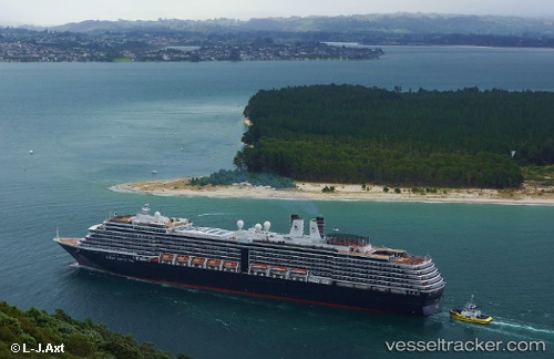
Noordam
Current StatusWhere is the vessel?
Noordam is currently in 215 nm W of Fukagawa, based on AIS data received about 1h ago.
Latest AIS update:
Current position: 34.95167° N, 144.10500° W (215 nm W of Fukagawa)
Average speed (last 7 days): Loading…
Average speed (last 30 days): Loading…
Vessel profile: Noordam is a Cruise Ship with dimensions 32m x 285m.
This page combines live AIS, route history, probable destination signals, nearby traffic, and port activity for practical vessel monitoring.
The current position of vessel Noordam is 34.95167 lat / -144.10500 lng. Updated: 2026-04-16 11:56:28 UTCNearest reference points:
- 213 nm W of Fukagawa
- 212 nm W of Fukagawa
Details:
Live Vessel Noordam Analytics (details, animations, etc.)
Recent AIS points (UTC):
2026-04-16 06:21:15 UTC · 33.72458, -145.62009 · SOG 18.7 kn · COG 47°2026-04-16 07:32:27 UTC · 33.98833, -145.30167 · SOG 18 kn · COG -1°
2026-04-16 10:05:27 UTC · 34.53667, -144.61501 · SOG 18 kn · COG -1°
2026-04-16 11:56:28 UTC · 34.95167, -144.10500 · SOG 19 kn · COG -1°