 vesseltracker.com
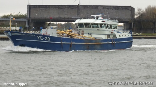
 WR2 DUNJA LYNN
Current Status
Where is the vessel?
WR2 DUNJA LYNN is currently in 12 nm SW of Hooge, based on AIS data received about 8d ago.
Latest AIS update:
Current position: 54.41488° N, 8.34360° E (12 nm SW of Hooge)
Average speed (last 7 days): Loading…
Average speed (last 30 days): Loading…
Vessel profile: WR2 DUNJA LYNN is a Fishing Vessel with dimensions m x m.
This page combines live AIS, route history, probable destination signals, nearby traffic, and port activity for practical vessel monitoring.
The current position of vessel WR2 DUNJA LYNN is 54.41488 lat / 8.34360 lng. Updated: 2026-04-01 10:08:28 UTCNearest reference points:
- Near BUESUM
- Near Basel
- 10 nm E of Wangerooge
Currently sailing under the flag of Netherlands ![]()
Details:
Live Vessel WR2 DUNJA LYNN Analytics (details, animations, etc.)
Recent AIS points (UTC):
2026-04-01 09:12:38 UTC · 54.42065, 8.32750 · SOG 2.7 kn · COG 287°2026-04-01 10:08:28 UTC · 54.41488, 8.34360 · SOG 3.3 kn · COG 141°
2026-04-01 10:08:28 UTC · 54.41488, 8.34360 · SOG 3.3 kn · COG 141°
2026-04-01 10:08:28 UTC · 54.41488, 8.34360 · SOG 3.3 kn · COG 141°