 vesseltracker.com
 MANISA KRISTIN
Current Status
Where is the vessel?
MANISA KRISTIN is currently in Near RIDDERKERK, based on AIS data received about 1h ago.
Latest AIS update:
Current position: 51.88529° N, 4.61803° E (Near RIDDERKERK)
Average speed (last 7 days): Loading…
Average speed (last 30 days): Loading…
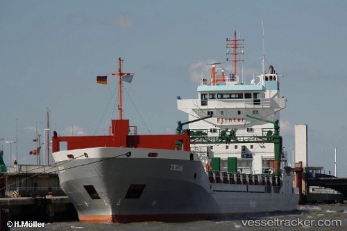
Vessel profile: MANISA KRISTIN is a General Cargo with dimensions 130m x 16m.
This page combines live AIS, route history, probable destination signals, nearby traffic, and port activity for practical vessel monitoring.
The current position of vessel MANISA KRISTIN is 51.88529 lat / 4.61803 lng. Updated: 2026-03-29 07:56:37 UTCNearest reference points:
- Near KRIMPEN
- Near Nieuwerkerk aan den IJssel
- Near LEKKERKERK
Currently sailing under the flag of Netherlands ![]()
MANISA KRISTIN built in 2000 year
Deadweight:
9100 tDetails:
Live Vessel MANISA KRISTIN Analytics (details, animations, etc.)
Recent AIS points (UTC):
2026-03-29 01:23:08 UTC · 51.88537, 4.61806 · SOG 0 kn · COG -1°2026-03-29 04:18:05 UTC · 51.88531, 4.61804 · SOG 0.1 kn · COG -1°
2026-03-29 06:11:37 UTC · 51.88531, 4.61805 · SOG 0.1 kn · COG -1°
2026-03-29 07:56:37 UTC · 51.88529, 4.61803 · SOG 0 kn · COG -1°