 vesseltracker.com
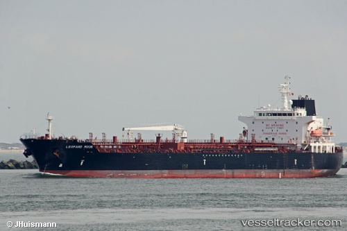
 VALLE LUNA
Current Status
Where is the vessel?
VALLE LUNA is currently in Near Skaramangas, based on AIS data received about 1h ago.
Latest AIS update:
Current position: 38.00966° N, 23.54647° E (Near Skaramangas)
Average speed (last 7 days): Loading…
Average speed (last 30 days): Loading…
Vessel profile: VALLE LUNA is a Chemical/Oil Products Tanker with dimensions 183m x 32m.
This page combines live AIS, route history, probable destination signals, nearby traffic, and port activity for practical vessel monitoring.
The current position of vessel VALLE LUNA is 38.00966 lat / 23.54647 lng. Updated: 2026-04-19 01:47:29 UTCNearest reference points:
- Near PERAMA
- Near Keratsínion
- Near Drapetzona
Currently sailing under the flag of Italy ![]()
VALLE LUNA built in 2013 year
Deadweight:
49999 tDetails:
Live Vessel VALLE LUNA Analytics (details, animations, etc.)
Recent AIS points (UTC):
2026-04-18 19:53:06 UTC · 38.01125, 23.54799 · SOG 0.3 kn · COG 258°2026-04-18 22:10:58 UTC · 38.00971, 23.54679 · SOG 0 kn · COG -1°
2026-04-18 23:32:31 UTC · 38.00970, 23.54685 · SOG 0.1 kn · COG 327°
2026-04-19 01:47:29 UTC · 38.00966, 23.54647 · SOG 0.1 kn · COG 343°