 vesseltracker.com
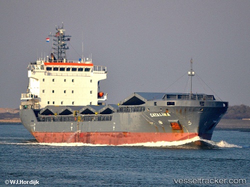
 SEVEN AMARANTA
Current Status
Where is the vessel?
SEVEN AMARANTA is currently in 31 nm SW of Larouco, based on AIS data received less than 1h ago.
Latest AIS update:
Current position: 41.94162° N, 6.68239° E (31 nm SW of Larouco)
Average speed (last 7 days): Loading…
Average speed (last 30 days): Loading…
Vessel profile: SEVEN AMARANTA is a General Cargo with dimensions m x m.
This page combines live AIS, route history, probable destination signals, nearby traffic, and port activity for practical vessel monitoring.
The current position of vessel SEVEN AMARANTA is 41.94162 lat / 6.68239 lng. Updated: 2026-04-18 09:47:33 UTCNearest reference points:
- 54 nm W of Larouco
- Near Saint-Tropez
- Near Port-Grimaud
Currently sailing under the flag of Italy ![]()
Details:
Live Vessel SEVEN AMARANTA Analytics (details, animations, etc.)
Recent AIS points (UTC):
2026-04-18 04:20:45 UTC · 41.61705, 7.77631 · SOG 9.6 kn · COG 289°2026-04-18 06:18:14 UTC · 41.73109, 7.39232 · SOG 9.8 kn · COG 294°
2026-04-18 07:57:03 UTC · 41.84153, 7.06224 · SOG 9.8 kn · COG 289°
2026-04-18 09:47:33 UTC · 41.94162, 6.68239 · SOG 9.6 kn · COG 292°