 vesseltracker.com
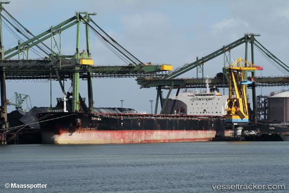
Cohiba
Current StatusWhere is the vessel?
Cohiba is currently in 64 nm S of Dakar, based on AIS data received about 1h ago.
Latest AIS update:
Current position: 13.67566° N, 17.77682° W (64 nm S of Dakar)
Average speed (last 7 days): Loading…
Average speed (last 30 days): Loading…
Vessel profile: Cohiba is a Bulk Carrier with dimensions 45m x 289m.
This page combines live AIS, route history, probable destination signals, nearby traffic, and port activity for practical vessel monitoring.
The current position of vessel Cohiba is 13.67566 lat / -17.77682 lng. Updated: 2026-04-03 21:36:25 UTCNearest reference points:
- Near Rufisque
- Near Dakar
- Near Banjul
Details:
Live Vessel Cohiba Analytics (details, animations, etc.)
Recent AIS points (UTC):
2026-04-03 15:49:07 UTC · 15.29467, -17.84516 · SOG 17.1 kn · COG -1°2026-04-03 18:42:18 UTC · 14.48057, -17.80764 · SOG 16.8 kn · COG 177°
2026-04-03 20:39:42 UTC · 13.93704, -17.78806 · SOG 16.8 kn · COG 179°
2026-04-03 21:36:25 UTC · 13.67566, -17.77682 · SOG 16.6 kn · COG 172°