 vesseltracker.com
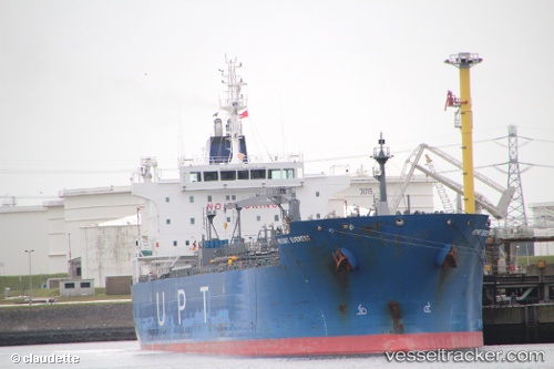
 SAN MARTIN
Current Status
Where is the vessel?
SAN MARTIN is currently in 33 nm N of Sumarcarcer, based on AIS data received less than 1h ago.
Latest AIS update:
Current position: 39.62868° N, 0.82104° E (33 nm N of Sumarcarcer)
Average speed (last 7 days): Loading…
Average speed (last 30 days): Loading…
Vessel profile: SAN MARTIN is a Oil/Chemical Tanker with dimensions m x m.
This page combines live AIS, route history, probable destination signals, nearby traffic, and port activity for practical vessel monitoring.
The current position of vessel SAN MARTIN is 39.62868 lat / 0.82104 lng. Updated: 2026-04-17 10:10:52 UTCNearest reference points:
- 26 nm SE of Almazora
- 43 nm SE of PENISCOLA
- 18 nm NW of Sant Antoni de Portmany
Currently sailing under the flag of Malta ![]()
Details:
Live Vessel SAN MARTIN Analytics (details, animations, etc.)
Recent AIS points (UTC):
2026-04-17 03:43:02 UTC · 40.91660, 1.18408 · SOG 12.2 kn · COG 192°2026-04-17 05:34:21 UTC · 40.54695, 1.08857 · SOG 12.2 kn · COG 189°
2026-04-17 08:27:55 UTC · 39.95783, 0.95697 · SOG 12.2 kn · COG 208°
2026-04-17 10:10:52 UTC · 39.62868, 0.82104 · SOG 12.5 kn · COG 202°