 vesseltracker.com
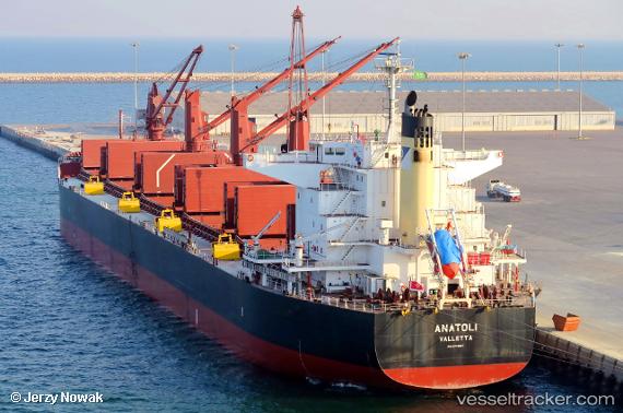
Anatoli
Current StatusWhere is the vessel?
Anatoli is currently in Near Ingeniero Buitrago, based on AIS data received about 1h ago.
Latest AIS update:
Current position: 33.35057° S, 60.17600° W (Near Ingeniero Buitrago)
Average speed (last 7 days): Loading…
Average speed (last 30 days): Loading…
Vessel profile: Anatoli is a Bulk Carrier with dimensions 32m x 199m.
This page combines live AIS, route history, probable destination signals, nearby traffic, and port activity for practical vessel monitoring.
The current position of vessel Anatoli is -33.35057 lat / -60.17600 lng. Updated: 2026-04-10 01:25:50 UTCNearest reference points:
- 10 nm NW of San Pedro
- Near Quebracho/San Lorenzo
- Near Puerto Alumbrera
Details:
Live Vessel Anatoli Analytics (details, animations, etc.)
Recent AIS points (UTC):
2026-04-09 19:40:51 UTC · -33.35062, -60.17604 · SOG 0 kn · COG 305°2026-04-09 21:55:53 UTC · -33.35055, -60.17600 · SOG 0 kn · COG 305°
2026-04-09 23:43:54 UTC · -33.35055, -60.17609 · SOG 0 kn · COG 305°
2026-04-10 01:25:50 UTC · -33.35057, -60.17600 · SOG 0 kn · COG 305°