 vesseltracker.com
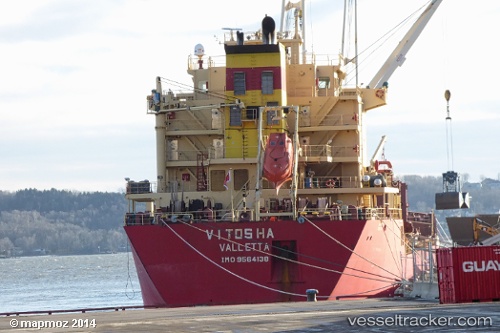
Vitosha
Current StatusWhere is the vessel?
Vitosha is currently in 146 nm NW of Laoag, Luzon, based on AIS data received about 14h ago.
Latest AIS update:
Current position: 19.28167° N, 118.28667° E (146 nm NW of Laoag, Luzon)
Average speed (last 7 days): Loading…
Average speed (last 30 days): Loading…
Vessel profile: Vitosha is a Bulk Carrier with dimensions 24m x 186m.
This page combines live AIS, route history, probable destination signals, nearby traffic, and port activity for practical vessel monitoring.
The current position of vessel Vitosha is 19.28167 lat / 118.28667 lng. Updated: 2026-04-10 07:24:23 UTCNearest reference points:
- 148 nm SE of Xijiang
- 132 nm SW of Kaohsiung
- 138 nm NW of Bolinao
Details:
Live Vessel Vitosha Analytics (details, animations, etc.)
Recent AIS points (UTC):
2026-04-10 00:48:23 UTC · 20.21333, 119.13167 · SOG 11 kn · COG -1°2026-04-10 04:06:22 UTC · 19.74500, 118.70667 · SOG 10 kn · COG -1°
2026-04-10 05:27:24 UTC · 19.55500, 118.53667 · SOG 11 kn · COG -1°
2026-04-10 07:24:23 UTC · 19.28167, 118.28667 · SOG 10 kn · COG -1°