 vesseltracker.com
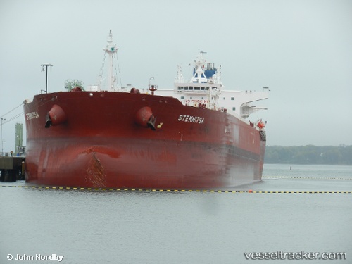
Stemnitsa
Current StatusWhere is the vessel?
Stemnitsa is currently in Near Sharjah, based on AIS data received about 1d ago.
Latest AIS update:
Current position: 25.48954° N, 55.21613° E (Near Sharjah)
Average speed (last 7 days): Loading…
Average speed (last 30 days): Loading…
Vessel profile: Stemnitsa is a Crude Oil Tanker with dimensions 44m x 250m.
This page combines live AIS, route history, probable destination signals, nearby traffic, and port activity for practical vessel monitoring.
The current position of vessel Stemnitsa is 25.48954 lat / 55.21613 lng. Updated: 2026-04-10 06:45:33 UTCNearest reference points:
- Near Sharjah
- Near Free Port
- Near AJMAN
Details:
Live Vessel Stemnitsa Analytics (details, animations, etc.)
Recent AIS points (UTC):
2026-04-09 23:11:47 UTC · 25.48954, 55.21774 · SOG 0 kn · COG -1°2026-04-10 03:58:58 UTC · 25.48901, 55.21592 · SOG 0 kn · COG 126°
2026-04-10 05:55:21 UTC · 25.48954, 55.21613 · SOG 0 kn · COG -1°
2026-04-10 06:45:33 UTC · 25.48954, 55.21613 · SOG 0 kn · COG -1°