 vesseltracker.com
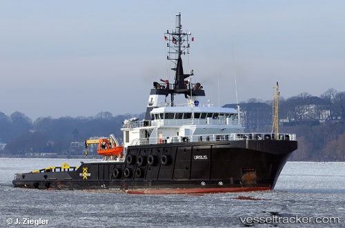
 BOKA FORWARD
Current Status
Where is the vessel?
BOKA FORWARD is currently in Near Abidjan, based on AIS data received less than 1h ago.
Latest AIS update:
Current position: 5.26905° N, 4.04524° W (Near Abidjan)
Average speed (last 7 days): Loading…
Average speed (last 30 days): Loading…
Vessel profile: BOKA FORWARD is a Tug with dimensions m x m.
This page combines live AIS, route history, probable destination signals, nearby traffic, and port activity for practical vessel monitoring.
The current position of vessel BOKA FORWARD is 5.26905 lat / -4.04524 lng. Updated: 2026-04-19 22:44:55 UTCNearest reference points:
- Near Vridi
- Near Abidjan
- Near Espoir
Currently sailing under the flag of Malta ![]()
Details:
Live Vessel BOKA FORWARD Analytics (details, animations, etc.)
Recent AIS points (UTC):
2026-04-19 19:14:58 UTC · 5.26896, -4.04533 · SOG 0 kn · COG 297°2026-04-19 19:38:50 UTC · 5.26907, -4.04525 · SOG 0 kn · COG 294°
2026-04-19 21:51:01 UTC · 5.26905, -4.04519 · SOG 0 kn · COG 303°
2026-04-19 22:44:55 UTC · 5.26905, -4.04524 · SOG 0 kn · COG 306°