 vesseltracker.com
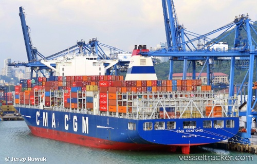
Cma Cgm Ohio
Current StatusWhere is the vessel?
Cma Cgm Ohio is currently in 104 nm SE of Dam Mon, based on AIS data received less than 1h ago.
Latest AIS update:
Current position: 11.80765° N, 110.93443° E (104 nm SE of Dam Mon)
Average speed (last 7 days): Loading…
Average speed (last 30 days): Loading…
Vessel profile: Cma Cgm Ohio is a Container Ship with dimensions 48m x 300m.
This page combines live AIS, route history, probable destination signals, nearby traffic, and port activity for practical vessel monitoring.
The current position of vessel Cma Cgm Ohio is 11.80765 lat / 110.93443 lng. Updated: 2026-04-19 16:12:38 UTCNearest reference points:
- 163 nm E of Vinh Cam Ranh
- 156 nm SE of Phan Rang-Tháp Chàm
- Near Vinh Cam Ranh
Details:
Live Vessel Cma Cgm Ohio Analytics (details, animations, etc.)
Recent AIS points (UTC):
2026-04-19 13:38:20 UTC · 12.31348, 111.19215 · SOG 13.5 kn · COG 206°2026-04-19 13:52:16 UTC · 12.26633, 111.16800 · SOG 13.5 kn · COG 203°
2026-04-19 15:52:35 UTC · 11.87421, 110.96450 · SOG 12.9 kn · COG 203°
2026-04-19 16:12:38 UTC · 11.80765, 110.93443 · SOG 13 kn · COG 203°