 vesseltracker.com
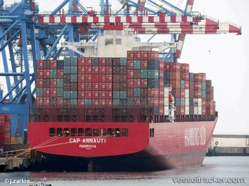
 CMA CGM TOKYO
Current Status
Where is the vessel?
CMA CGM TOKYO is currently in 43 nm S of Setubal, based on AIS data received about 1h ago.
Latest AIS update:
Current position: 37.79752° N, 9.00962° E (43 nm S of Setubal)
Average speed (last 7 days): Loading…
Average speed (last 30 days): Loading…
Vessel profile: CMA CGM TOKYO is a Container Ship with dimensions m x m.
This page combines live AIS, route history, probable destination signals, nearby traffic, and port activity for practical vessel monitoring.
The current position of vessel CMA CGM TOKYO is 37.79752 lat / 9.00962 lng. Updated: 2026-04-18 19:21:50 UTCNearest reference points:
- 35 nm S of Setubal
- 33 nm SE of Setubal
- Near SARROCH
Currently sailing under the flag of Malta ![]()
Details:
Live Vessel CMA CGM TOKYO Analytics (details, animations, etc.)
Recent AIS points (UTC):
2026-04-18 14:00:11 UTC · 37.63882, 10.26287 · SOG 10.9 kn · COG 285°2026-04-18 15:44:12 UTC · 37.67560, 9.87476 · SOG 11.2 kn · COG 281°
2026-04-18 17:33:21 UTC · 37.74610, 9.43818 · SOG 12 kn · COG 278°
2026-04-18 19:21:50 UTC · 37.79752, 9.00962 · SOG 11 kn · COG 282°