 vesseltracker.com
 POWER
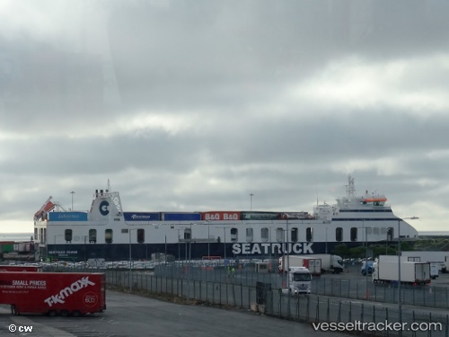
POWER
Current Status
Where is the vessel?
POWER is currently in Near HOWTH, based on AIS data received about 1d ago.
Latest AIS update:
Current position: 53.36594° N, 5.97260° W (Near HOWTH)
Average speed (last 7 days): Loading…
Average speed (last 30 days): Loading…
Vessel profile: POWER is a Ro-Ro Cargo with dimensions m x m.
This page combines live AIS, route history, probable destination signals, nearby traffic, and port activity for practical vessel monitoring.
The current position of vessel POWER is 53.36594 lat / -5.97260 lng. Updated: 2026-04-10 08:07:59 UTCNearest reference points:
- Near HOWTH
- Near Dun Laoghaire
- Near Skerries
Currently sailing under the flag of Malta ![]()
Details:
Live Vessel POWER Analytics (details, animations, etc.)
Recent AIS points (UTC):
2026-04-10 02:37:06 UTC · 53.92951, -3.63337 · SOG 16.1 kn · COG 256°2026-04-10 04:21:05 UTC · 53.75316, -4.39322 · SOG 16.7 kn · COG 248°
2026-04-10 05:21:41 UTC · 53.64462, -4.83903 · SOG 16.6 kn · COG 248°
2026-04-10 08:07:59 UTC · 53.36594, -5.97260 · SOG 16.4 kn · COG 245°