 vesseltracker.com
 ERMIS
ERMIS
Current Status
Where is the vessel?
ERMIS is currently in 239 nm NW of Amini Island, based on AIS data received less than 1h ago.
Latest AIS update:
Current position: 13.83908° N, 69.75243° E (239 nm NW of Amini Island)
Average speed (last 7 days): Loading…
Average speed (last 30 days): Loading…
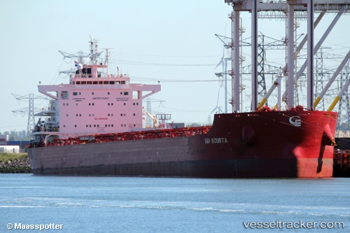
Vessel profile: ERMIS is a Cargo with dimensions m x m.
This page combines live AIS, route history, probable destination signals, nearby traffic, and port activity for practical vessel monitoring.
The current position of vessel ERMIS is 13.83908 lat / 69.75243 lng. Updated: 2026-04-19 06:08:00 UTCNearest reference points:
- 202 nm NW of Amini Island
- 198 nm N of Tinaquillo
- 187 nm N of Tinaquillo
Currently sailing under the flag of Malta ![]()
Details:
Live Vessel ERMIS Analytics (details, animations, etc.)
Recent AIS points (UTC):
2026-04-18 23:31:58 UTC · 13.94303, 69.81708 · SOG 1.3 kn · COG 74°2026-04-19 02:16:58 UTC · 13.89323, 69.79028 · SOG 1.1 kn · COG 46°
2026-04-19 04:07:57 UTC · 13.86248, 69.77365 · SOG 1 kn · COG 33°
2026-04-19 06:08:00 UTC · 13.83908, 69.75243 · SOG 0.8 kn · COG 322°