 vesseltracker.com
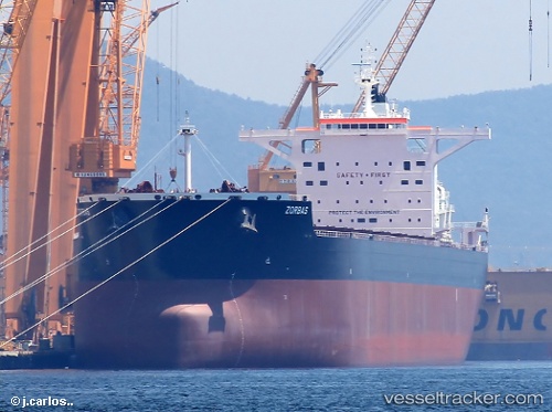
 ZORBAS
Current Status
Where is the vessel?
ZORBAS is currently in 329 nm NE of Port Mathurin, based on AIS data received about 2h ago.
Latest AIS update:
Current position: 15.20332° S, 66.72416° E (329 nm NE of Port Mathurin)
Average speed (last 7 days): Loading…
Average speed (last 30 days): Loading…
Vessel profile: ZORBAS is a Bulk Carrier with dimensions m x m.
This page combines live AIS, route history, probable destination signals, nearby traffic, and port activity for practical vessel monitoring.
The current position of vessel ZORBAS is -15.20332 lat / 66.72416 lng. Updated: 2026-03-28 09:26:04 UTCNearest reference points:
- 398 nm NE of Port Mathurin
- Open sea, approx. 402 nm off the nearest listed port
- Open sea, approx. 400 nm off the nearest listed port
Currently sailing under the flag of Malta ![]()
Details:
Live Vessel ZORBAS Analytics (details, animations, etc.)
Recent AIS points (UTC):
2026-03-28 04:22:01 UTC · -15.69333, 65.99500 · SOG 9 kn · COG -1°2026-03-28 05:40:05 UTC · -15.57667, 66.17333 · SOG 9 kn · COG -1°
2026-03-28 07:29:37 UTC · -15.39461, 66.43504 · SOG 10.4 kn · COG 53°
2026-03-28 09:26:04 UTC · -15.20332, 66.72416 · SOG 10 kn · COG 52°