 vesseltracker.com
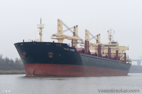
 CALOBRA
Current Status
Where is the vessel?
CALOBRA is currently in 51 nm SW of ALANYA, based on AIS data received about 2h ago.
Latest AIS update:
Current position: 35.75828° N, 31.58407° E (51 nm SW of ALANYA)
Average speed (last 7 days): Loading…
Average speed (last 30 days): Loading…
Vessel profile: CALOBRA is a Cargo with dimensions m x m.
This page combines live AIS, route history, probable destination signals, nearby traffic, and port activity for practical vessel monitoring.
The current position of vessel CALOBRA is 35.75828 lat / 31.58407 lng. Updated: 2026-04-19 13:34:15 UTCNearest reference points:
- Near Kemer
- Near Antalya Free Zone
- Near Antalya
Currently sailing under the flag of Malta ![]()
Details:
Live Vessel CALOBRA Analytics (details, animations, etc.)
Recent AIS points (UTC):
2026-04-19 10:22:21 UTC · 35.74833, 32.43500 · SOG 13 kn · COG -1°2026-04-19 11:01:29 UTC · 35.75333, 32.25333 · SOG 13 kn · COG -1°
2026-04-19 13:34:15 UTC · 35.75828, 31.58407 · SOG 12.5 kn · COG 274°
2026-04-19 13:34:15 UTC · 35.75828, 31.58407 · SOG 12.5 kn · COG 274°