 vesseltracker.com
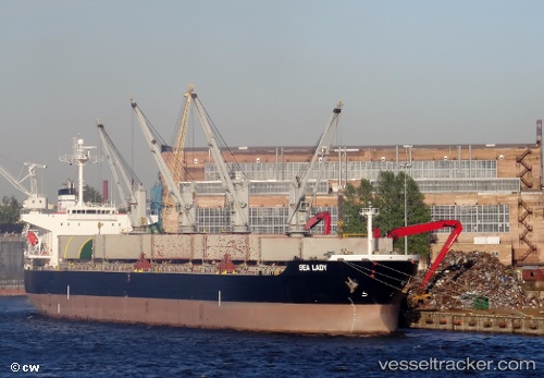
 Sealady
Current Status
Where is the vessel?
Sealady is currently in 68 nm SE of Willow Street, based on AIS data received about 1h ago.
Latest AIS update:
Current position: 29.92298° N, 75.74452° W (68 nm SE of Willow Street)
Average speed (last 7 days): Loading…
Average speed (last 30 days): Loading…
Vessel profile: Sealady is a Bulk Carrier with dimensions 200m x 32m.
This page combines live AIS, route history, probable destination signals, nearby traffic, and port activity for practical vessel monitoring.
The current position of vessel Sealady is 29.92298 lat / -75.74452 lng. Updated: 2026-04-12 13:32:48 UTCNearest reference points:
- 113 nm NE of Green Turtle Cay
- 75 nm N of Green Turtle Cay
Currently sailing under the flag of Malta ![]()
Details:
Live Vessel Sealady Analytics (details, animations, etc.)
Recent AIS points (UTC):
2026-04-12 06:42:55 UTC · 31.05803, -75.20486 · SOG 11.4 kn · COG 201°2026-04-12 08:52:26 UTC · 30.69276, -75.38534 · SOG 10.6 kn · COG 196°
2026-04-12 10:01:36 UTC · 30.50473, -75.47118 · SOG 9.8 kn · COG 202°
2026-04-12 13:32:48 UTC · 29.92298, -75.74452 · SOG 12.1 kn · COG -1°