 vesseltracker.com
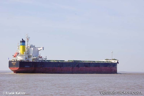
 KESARIA
Current Status
Where is the vessel?
KESARIA is currently in 67 nm N of Attu Island, based on AIS data received about 1h ago.
Latest AIS update:
Current position: 54.02705° N, 173.77823° E (67 nm N of Attu Island)
Average speed (last 7 days): Loading…
Average speed (last 30 days): Loading…
Vessel profile: KESARIA is a Bulk Carrier with dimensions m x m.
This page combines live AIS, route history, probable destination signals, nearby traffic, and port activity for practical vessel monitoring.
The current position of vessel KESARIA is 54.02705 lat / 173.77823 lng. Updated: 2026-04-17 18:06:46 UTCNearest reference points:
- 57 nm SW of Zagorow
Currently sailing under the flag of Malta ![]()
Details:
Live Vessel KESARIA Analytics (details, animations, etc.)
Recent AIS points (UTC):
2026-04-17 11:34:27 UTC · 54.06138, 175.87155 · SOG 11.3 kn · COG 271°2026-04-17 13:55:56 UTC · 54.05215, 175.12216 · SOG 10.9 kn · COG 272°
2026-04-17 16:09:42 UTC · 54.03921, 174.41852 · SOG 11.3 kn · COG 267°
2026-04-17 18:06:46 UTC · 54.02705, 173.77823 · SOG 11.6 kn · COG 265°