 vesseltracker.com
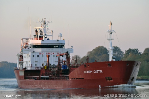
 M/T YIGIT
Current Status
Where is the vessel?
M/T YIGIT is currently in Near Mipo/Ulsan, based on AIS data received less than 1h ago.
Latest AIS update:
Current position: 35.52824° N, 129.44589° E (Near Mipo/Ulsan)
Average speed (last 7 days): Loading…
Average speed (last 30 days): Loading…
Vessel profile: M/T YIGIT is a Oil/Chemical Tanker with dimensions m x m.
This page combines live AIS, route history, probable destination signals, nearby traffic, and port activity for practical vessel monitoring.
The current position of vessel M/T YIGIT is 35.52824 lat / 129.44589 lng. Updated: 2026-04-19 21:37:40 UTCNearest reference points:
- Near Ilsan
- Near Ulsan
- Near ONSAN
Currently sailing under the flag of Malta ![]()
Details:
Live Vessel M/T YIGIT Analytics (details, animations, etc.)
Recent AIS points (UTC):
2026-04-19 17:56:11 UTC · 35.52821, 129.44591 · SOG 0 kn · COG 266°2026-04-19 19:20:19 UTC · 35.52821, 129.44591 · SOG 0 kn · COG 266°
2026-04-19 19:34:30 UTC · 35.52822, 129.44592 · SOG 0 kn · COG 266°
2026-04-19 21:37:40 UTC · 35.52824, 129.44589 · SOG 0 kn · COG 266°