 vesseltracker.com
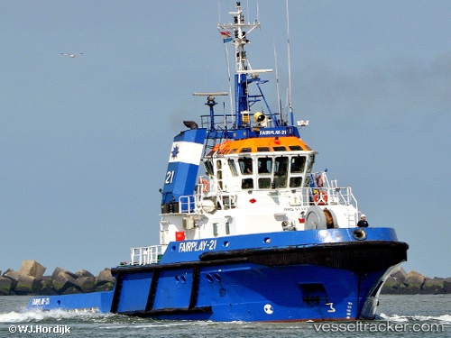
 FORTIZZA
Current Status
Where is the vessel?
FORTIZZA is currently in Near La Spezia, based on AIS data received about 1h ago.
Latest AIS update:
Current position: 44.10700° N, 9.85214° E (Near La Spezia)
Average speed (last 7 days): Loading…
Average speed (last 30 days): Loading…
Vessel profile: FORTIZZA is a Tug with dimensions m x m.
This page combines live AIS, route history, probable destination signals, nearby traffic, and port activity for practical vessel monitoring.
The current position of vessel FORTIZZA is 44.10700 lat / 9.85214 lng. Updated: 2026-04-18 04:20:39 UTCNearest reference points:
- Near La Spezia
- Near Ortonova, Isola
- Near Vernazza
Currently sailing under the flag of Malta ![]()
Details:
Live Vessel FORTIZZA Analytics (details, animations, etc.)
Recent AIS points (UTC):
2026-04-17 21:47:11 UTC · 44.10698, 9.85206 · SOG 0 kn · COG 292°2026-04-18 00:03:01 UTC · 44.10715, 9.85211 · SOG 0 kn · COG 292°
2026-04-18 02:33:10 UTC · 44.10706, 9.85211 · SOG 0 kn · COG 292°
2026-04-18 04:20:39 UTC · 44.10700, 9.85214 · SOG 0 kn · COG 293°