 vesseltracker.com
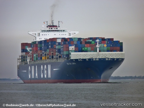
Cma Cgm Libra
Current StatusWhere is the vessel?
Cma Cgm Libra is currently in 102 nm SE of NANTUCKET, based on AIS data received less than 1h ago.
Latest AIS update:
Current position: 40.49582° N, 68.09530° W (102 nm SE of NANTUCKET)
Average speed (last 7 days): Loading…
Average speed (last 30 days): Loading…
Vessel profile: Cma Cgm Libra is a Container Ship with dimensions 46m x 364m.
This page combines live AIS, route history, probable destination signals, nearby traffic, and port activity for practical vessel monitoring.
The current position of vessel Cma Cgm Libra is 40.49582 lat / -68.09530 lng. Updated: 2026-04-16 10:17:55 UTCNearest reference points:
- 28 nm SE of East Harwich
- Near South Yarmouth
- Near Barnstable
Details:
Live Vessel Cma Cgm Libra Analytics (details, animations, etc.)
Recent AIS points (UTC):
2026-04-16 01:31:16 UTC · 41.80888, -66.30609 · SOG 12.4 kn · COG 223°2026-04-16 01:31:16 UTC · 41.80888, -66.30609 · SOG 12.4 kn · COG 223°
2026-04-16 07:21:36 UTC · 40.93667, -67.49333 · SOG 13 kn · COG -1°
2026-04-16 10:17:55 UTC · 40.49582, -68.09530 · SOG 12.2 kn · COG 228°