 vesseltracker.com
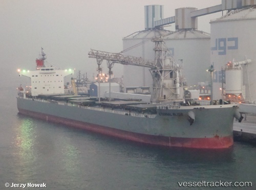
 PELAGIA
Current Status
Where is the vessel?
PELAGIA is currently in Open sea (no nearby ports in database), based on AIS data received less than 1h ago.
Latest AIS update:
Current position: 32.70705° S, 10.28303° W (Open sea (no nearby ports in database))
Average speed (last 7 days): Loading…
Average speed (last 30 days): Loading…
Vessel profile: PELAGIA is a Bulk Carrier with dimensions m x m.
This page combines live AIS, route history, probable destination signals, nearby traffic, and port activity for practical vessel monitoring.
The current position of vessel PELAGIA is -32.70705 lat / -10.28303 lng. Updated: 2026-04-21 19:23:36 UTCNearest reference points:
- Open sea (no nearby ports in database)
- Open sea, approx. 402 nm off the nearest listed port
- Open sea, approx. 405 nm off the nearest listed port
Currently sailing under the flag of Malta ![]()
Details:
Live Vessel PELAGIA Analytics (details, animations, etc.)
Recent AIS points (UTC):
2026-04-21 16:26:43 UTC · -32.68716, -9.58954 · SOG 12 kn · COG 269°2026-04-21 17:27:04 UTC · -32.69531, -9.82652 · SOG 11.9 kn · COG 269°
2026-04-21 19:02:52 UTC · -32.70016, -10.20280 · SOG 11.9 kn · COG 267°
2026-04-21 19:23:36 UTC · -32.70705, -10.28303 · SOG 11.7 kn · COG 266°