 vesseltracker.com
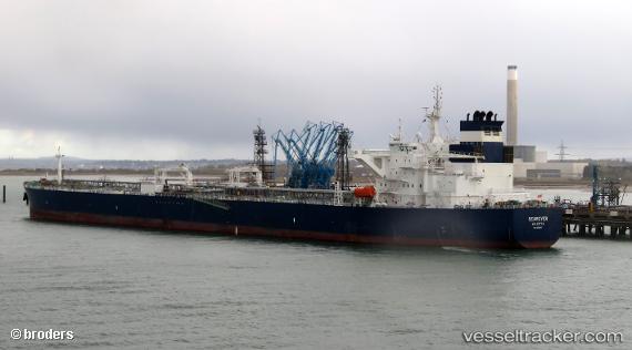
Searover
Current StatusWhere is the vessel?
Searover is currently in 66 nm W of Georgetown, Grand Cayman, based on AIS data received less than 1h ago.
Latest AIS update:
Current position: 19.19333° N, 82.54833° W (66 nm W of Georgetown, Grand Cayman)
Average speed (last 7 days): Loading…
Average speed (last 30 days): Loading…
Vessel profile: Searover is a Crude Oil Tanker with dimensions 44m x 250m.
This page combines live AIS, route history, probable destination signals, nearby traffic, and port activity for practical vessel monitoring.
The current position of vessel Searover is 19.19333 lat / -82.54833 lng. Updated: 2026-04-22 19:06:58 UTCNearest reference points:
- Near Georgetown, Grand Cayman
- 58 nm S of San Julian
Details:
Live Vessel Searover Analytics (details, animations, etc.)
Recent AIS points (UTC):
2026-04-22 15:46:55 UTC · 19.54505, -83.01018 · SOG 10 kn · COG -1°2026-04-22 16:45:56 UTC · 19.44667, -82.86833 · SOG 10 kn · COG -1°
2026-04-22 18:09:58 UTC · 19.29667, -82.67833 · SOG 10 kn · COG -1°
2026-04-22 19:06:58 UTC · 19.19333, -82.54833 · SOG 10 kn · COG -1°