 vesseltracker.com
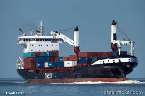
 ATLANTICO
Current Status
Where is the vessel?
ATLANTICO is currently in 59 nm SW of Los Ramos, based on AIS data received about 2h ago.
Latest AIS update:
Current position: 37.20833° N, 11.09666° W (59 nm SW of Los Ramos)
Average speed (last 7 days): Loading…
Average speed (last 30 days): Loading…
Vessel profile: ATLANTICO is a Container Ship with dimensions m x m.
This page combines live AIS, route history, probable destination signals, nearby traffic, and port activity for practical vessel monitoring.
The current position of vessel ATLANTICO is 37.20833 lat / -11.09666 lng. Updated: 2026-04-12 11:37:52 UTCNearest reference points:
- 54 nm W of Sagres
- 97 nm W of Los Ramos
- 95 nm W of Los Ramos
Currently sailing under the flag of Portugal ![]()
Details:
Live Vessel ATLANTICO Analytics (details, animations, etc.)
Recent AIS points (UTC):
2026-04-12 07:01:13 UTC · 38.11092, -10.04297 · SOG 16.2 kn · COG -1°2026-04-12 08:19:51 UTC · 37.85167, -10.34333 · SOG 16 kn · COG -1°
2026-04-12 10:28:50 UTC · 37.43500, -10.83833 · SOG 15 kn · COG -1°
2026-04-12 11:37:52 UTC · 37.20833, -11.09666 · SOG 16 kn · COG -1°