 vesseltracker.com
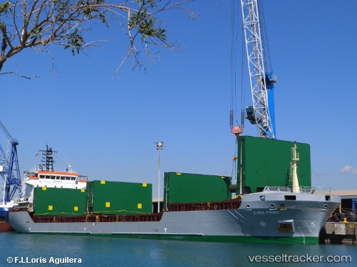
 LUCITA
Current Status
Where is the vessel?
LUCITA is currently in 30 nm W of Pavilosta, based on AIS data received less than 1h ago.
Latest AIS update:
Current position: 56.82408° N, 20.28003° E (30 nm W of Pavilosta)
Average speed (last 7 days): Loading…
Average speed (last 30 days): Loading…
Vessel profile: LUCITA is a General Cargo Ship with dimensions 108m x 18m.
This page combines live AIS, route history, probable destination signals, nearby traffic, and port activity for practical vessel monitoring.
The current position of vessel LUCITA is 56.82408 lat / 20.28003 lng. Updated: 2026-04-19 11:22:39 UTCNearest reference points:
- Near Cimdenieki
- 39 nm W of Pilies juru uosto PVP/Klaipeda
- Near Ventspils
Currently sailing under the flag of Portugal (MAR) ![]()
LUCITA built in 2005 year
Deadweight:
7601 tDetails:
Live Vessel LUCITA Analytics (details, animations, etc.)
Recent AIS points (UTC):
2026-04-19 09:32:28 UTC · 56.63232, 19.98979 · SOG 8.1 kn · COG 41°2026-04-19 09:46:58 UTC · 56.65700, 20.02886 · SOG 8.1 kn · COG 41°
2026-04-19 10:26:28 UTC · 56.72656, 20.13471 · SOG 8.2 kn · COG 39°
2026-04-19 11:22:39 UTC · 56.82408, 20.28003 · SOG 8 kn · COG 41°