 vesseltracker.com
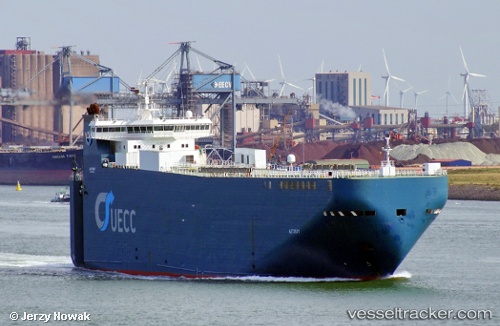
 Autosky
Current Status
Where is the vessel?
Autosky is currently in 39 nm W of Torsminde, based on AIS data received about 1h ago.
Latest AIS update:
Current position: 56.38809° N, 6.92986° E (39 nm W of Torsminde)
Average speed (last 7 days): Loading…
Average speed (last 30 days): Loading…
Vessel profile: Autosky is a Vehicles Carrier with dimensions 140m x 140m.
This page combines live AIS, route history, probable destination signals, nearby traffic, and port activity for practical vessel monitoring.
The current position of vessel Autosky is 56.38809 lat / 6.92986 lng. Updated: 2026-04-08 17:36:14 UTCNearest reference points:
- 36 nm W of HVIDE SANDE
- Near Thyborøn
- Near Blavand
Currently sailing under the flag of Portugal ![]()
Autosky built in 2000 year
Deadweight:
6670 tDetails:
Live Vessel Autosky Analytics (details, animations, etc.)
Recent AIS points (UTC):
2026-04-08 11:59:20 UTC · 54.87646, 5.32662 · SOG 19.3 kn · COG 31°2026-04-08 14:00:40 UTC · 55.42942, 5.88202 · SOG 18.9 kn · COG 30°
2026-04-08 16:12:33 UTC · 56.02080, 6.51600 · SOG 18.8 kn · COG 35°
2026-04-08 17:36:14 UTC · 56.38809, 6.92986 · SOG 18.8 kn · COG 31°