 vesseltracker.com
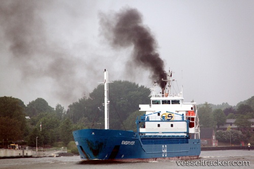
Lunamar
Current StatusWhere is the vessel?
Lunamar is currently in 28 nm SW of Blavand, based on AIS data received about 2h ago.
Latest AIS update:
Current position: 55.35167° N, 7.39500° E (28 nm SW of Blavand)
Average speed (last 7 days): Loading…
Average speed (last 30 days): Loading…
Vessel profile: Lunamar is a Multi Purpose Carrier with dimensions 14m x 99m.
This page combines live AIS, route history, probable destination signals, nearby traffic, and port activity for practical vessel monitoring.
The current position of vessel Lunamar is 55.35167 lat / 7.39500 lng. Updated: 2026-04-07 01:27:27 UTCNearest reference points:
- Near Blavand
- Near Basel
- 36 nm W of HVIDE SANDE
Details:
Live Vessel Lunamar Analytics (details, animations, etc.)
Recent AIS points (UTC):
2026-04-06 19:40:16 UTC · 54.51974, 7.54650 · SOG 8.9 kn · COG 357°2026-04-06 21:47:13 UTC · 54.82667, 7.50167 · SOG 7 kn · COG -1°
2026-04-06 23:30:50 UTC · 55.07254, 7.45410 · SOG 8.7 kn · COG 349°
2026-04-07 01:27:27 UTC · 55.35167, 7.39500 · SOG 8 kn · COG -1°