 vesseltracker.com
 Marielyst
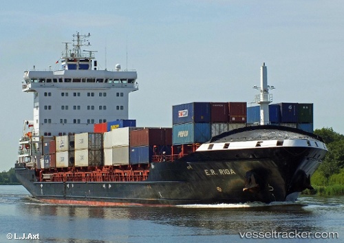
Current Status
Where is the vessel?
Marielyst is currently in Near Kiel Canal, based on AIS data received about 1h ago.
Latest AIS update:
Current position: 53.89361° N, 9.14492° E (Near Kiel Canal)
Average speed (last 7 days): Loading…
Average speed (last 30 days): Loading…
Vessel profile: Marielyst is a Container Ship with dimensions 158m x 24m.
This page combines live AIS, route history, probable destination signals, nearby traffic, and port activity for practical vessel monitoring.
The current position of vessel Marielyst is 53.89361 lat / 9.14492 lng. Updated: 2026-04-06 21:48:41 UTCNearest reference points:
- Near Kiel Canal
- Near Abbenfleth
- Near Stader Sand
Currently sailing under the flag of Portugal ![]()
Marielyst built in 2010 year
Deadweight:
14236 tDetails:
Live Vessel Marielyst Analytics (details, animations, etc.)
Recent AIS points (UTC):
2026-04-06 16:17:53 UTC · 53.93520, 7.74177 · SOG 9.1 kn · COG 80°2026-04-06 17:51:54 UTC · 53.99052, 8.16226 · SOG 11.5 kn · COG 81°
2026-04-06 19:41:01 UTC · 53.87056, 8.72258 · SOG 8.8 kn · COG 138°
2026-04-06 21:48:41 UTC · 53.89361, 9.14492 · SOG 0 kn · COG 48°