 vesseltracker.com
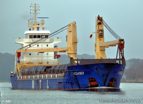
 SVEALAND
Current Status
Where is the vessel?
SVEALAND is currently in Open sea (no nearby ports in database), based on AIS data received about 136d ago.
Latest AIS update:
Current position: 41.27084° S, 166.33034° W (Open sea (no nearby ports in database))
Average speed (last 7 days): Loading…
Average speed (last 30 days): Loading…
Vessel profile: SVEALAND is a General Cargo Ship with dimensions 16m x 120m.
This page combines live AIS, route history, probable destination signals, nearby traffic, and port activity for practical vessel monitoring.
The current position of vessel SVEALAND is -41.27084 lat / -166.33034 lng. Updated: 2025-12-06 20:02:45 UTCNearest reference points:
- Open sea (no nearby ports in database)
Currently sailing under the flag of Portugal (MAR) ![]()
SVEALAND built in 2005 year
Deadweight:
7763 tDetails:
Live Vessel SVEALAND Analytics (details, animations, etc.)
Recent AIS points (UTC):
2025-12-06 20:02:45 UTC · -41.27084, -166.33034 · SOG 73.5 kn · COG 236°