 vesseltracker.com
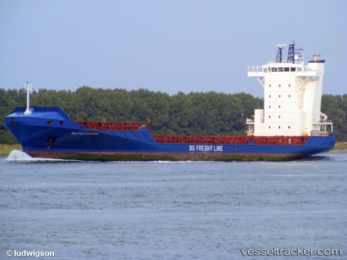
 DIANA B
Current Status
Where is the vessel?
DIANA B is currently in Near Las Palmas, based on AIS data received about 23h ago.
Latest AIS update:
Current position: 28.14666° N, 15.41482° W (Near Las Palmas)
Average speed (last 7 days): Loading…
Average speed (last 30 days): Loading…
Vessel profile: DIANA B is a Container Ship with dimensions m x m.
This page combines live AIS, route history, probable destination signals, nearby traffic, and port activity for practical vessel monitoring.
The current position of vessel DIANA B is 28.14666 lat / -15.41482 lng. Updated: 2026-04-10 08:05:28 UTCNearest reference points:
- Near Las Palmas
- Near Las Palmas de Gran Canaria
- Near TALIARTE
Currently sailing under the flag of Portugal ![]()
Details:
Live Vessel DIANA B Analytics (details, animations, etc.)
Recent AIS points (UTC):
2026-04-10 02:35:27 UTC · 28.14668, -15.41482 · SOG 0 kn · COG 131°2026-04-10 04:20:28 UTC · 28.14667, -15.41482 · SOG 0 kn · COG 131°
2026-04-10 05:23:27 UTC · 28.14667, -15.41483 · SOG 0 kn · COG 131°
2026-04-10 08:05:28 UTC · 28.14666, -15.41482 · SOG 0 kn · COG 130°