 vesseltracker.com
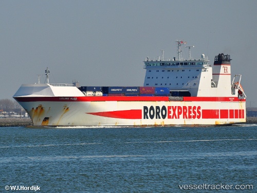
 MAYAR
MAYAR
Current Status
Where is the vessel?
MAYAR is currently in Near San Ferdinando, based on AIS data received about 1h ago.
Latest AIS update:
Current position: 38.47340° N, 15.91866° E (Near San Ferdinando)
Average speed (last 7 days): Loading…
Average speed (last 30 days): Loading…
Vessel profile: MAYAR is a Ro-Ro Cargo with dimensions m x m.
This page combines live AIS, route history, probable destination signals, nearby traffic, and port activity for practical vessel monitoring.
The current position of vessel MAYAR is 38.47340 lat / 15.91866 lng. Updated: 2026-04-17 19:37:12 UTCNearest reference points:
- Near Tropea
- Near Pizzo
- Near Torre Faro
Currently sailing under the flag of Portugal ![]()
Details:
Live Vessel MAYAR Analytics (details, animations, etc.)
Recent AIS points (UTC):
2026-04-17 14:18:14 UTC · 38.47332, 15.91864 · SOG 0.3 kn · COG 212°2026-04-17 16:01:42 UTC · 38.47337, 15.91862 · SOG 0 kn · COG 212°
2026-04-17 17:24:11 UTC · 38.47334, 15.91869 · SOG 0.3 kn · COG 212°
2026-04-17 19:37:12 UTC · 38.47340, 15.91866 · SOG 0.1 kn · COG 213°