 vesseltracker.com
 SKALAR
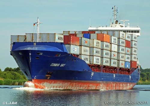
Current Status
Where is the vessel?
SKALAR is currently in 12 nm N of Hunsdon, based on AIS data received about 1h ago.
Latest AIS update:
Current position: 51.99099° N, 3.33556° E (12 nm N of Hunsdon)
Average speed (last 7 days): Loading…
Average speed (last 30 days): Loading…
Vessel profile: SKALAR is a Container Ship with dimensions 151m x 24m.
This page combines live AIS, route history, probable destination signals, nearby traffic, and port activity for practical vessel monitoring.
The current position of vessel SKALAR is 51.99099 lat / 3.33556 lng. Updated: 2026-04-08 19:21:51 UTCNearest reference points:
- Near Hunsdon
- 12 nm NE of Hunsdon
- Near NEELTJE JANS
Currently sailing under the flag of Portugal ![]()
SKALAR built in 2012 year
Deadweight:
13000 tDetails:
Live Vessel SKALAR Analytics (details, animations, etc.)
Recent AIS points (UTC):
2026-04-08 14:01:09 UTC · 53.18051, 4.40667 · SOG 16.8 kn · COG 206°2026-04-08 16:12:27 UTC · 52.74383, 3.69927 · SOG 16.2 kn · COG 219°
2026-04-08 17:40:56 UTC · 52.40826, 3.45355 · SOG 15.1 kn · COG 191°
2026-04-08 19:21:51 UTC · 51.99099, 3.33556 · SOG 15.2 kn · COG 192°