 vesseltracker.com
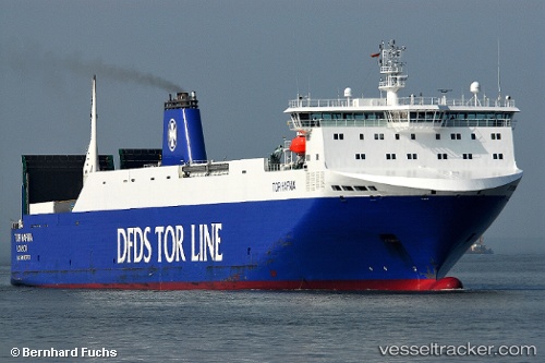
 HAFNIA SEA
Current Status
Where is the vessel?
HAFNIA SEA is currently in 39 nm SW of Anamur, based on AIS data received about 2h ago.
Latest AIS update:
Current position: 35.77404° N, 32.12848° E (39 nm SW of Anamur)
Average speed (last 7 days): Loading…
Average speed (last 30 days): Loading…
Vessel profile: HAFNIA SEA is a Vehicles Carrier with dimensions m x m.
This page combines live AIS, route history, probable destination signals, nearby traffic, and port activity for practical vessel monitoring.
The current position of vessel HAFNIA SEA is 35.77404 lat / 32.12848 lng. Updated: 2026-03-26 15:59:14 UTCNearest reference points:
- 20 nm SW of Yesilovacik
- 11 nm SE of Paphos
- 15 nm SW of Yesilovacik
Currently sailing under the flag of Portugal ![]()
Details:
Live Vessel HAFNIA SEA Analytics (details, animations, etc.)
Recent AIS points (UTC):
2026-03-26 09:22:32 UTC · 36.36828, 34.50563 · SOG 16.8 kn · COG 217°2026-03-26 11:57:50 UTC · 35.91792, 33.68116 · SOG 19.5 kn · COG 259°
2026-03-26 14:15:56 UTC · 35.79541, 32.78511 · SOG 18.7 kn · COG 268°
2026-03-26 15:59:14 UTC · 35.77404, 32.12848 · SOG 18.7 kn · COG 269°