 vesseltracker.com
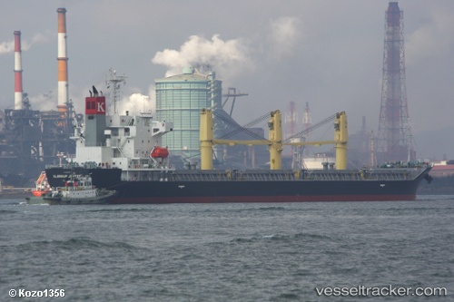
 RUMA
RUMA
Current Status
Where is the vessel?
RUMA is currently in Near Casablanca, based on AIS data received less than 1h ago.
Latest AIS update:
Current position: 33.70664° N, 7.61025° W (Near Casablanca)
Average speed (last 7 days): Loading…
Average speed (last 30 days): Loading…
Vessel profile: RUMA is a Bulk Carrier with dimensions m x m.
This page combines live AIS, route history, probable destination signals, nearby traffic, and port activity for practical vessel monitoring.
The current position of vessel RUMA is 33.70664 lat / -7.61025 lng. Updated: 2026-04-22 14:00:13 UTCNearest reference points:
- Near Mohammedia
- 54 nm N of El Jadida
- Near Jorf Lasfar
Currently sailing under the flag of Portugal ![]()
Details:
Live Vessel RUMA Analytics (details, animations, etc.)
Recent AIS points (UTC):
2026-04-22 10:24:13 UTC · 33.70799, -7.60931 · SOG 0.1 kn · COG 280°2026-04-22 11:48:13 UTC · 33.70785, -7.60940 · SOG 0.1 kn · COG 291°
2026-04-22 13:33:13 UTC · 33.70672, -7.60997 · SOG 0 kn · COG 334°
2026-04-22 14:00:13 UTC · 33.70664, -7.61025 · SOG 0.2 kn · COG 347°