 vesseltracker.com
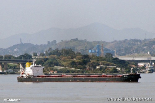
 SAN GEORGE
Current Status
Where is the vessel?
SAN GEORGE is currently in 120 nm E of Dabo, Singkep Isl, based on AIS data received about 2h ago.
Latest AIS update:
Current position: 0.09043° N, 106.46063° E (120 nm E of Dabo, Singkep Isl)
Average speed (last 7 days): Loading…
Average speed (last 30 days): Loading…
Vessel profile: SAN GEORGE is a Bulk Carrier with dimensions m x m.
This page combines live AIS, route history, probable destination signals, nearby traffic, and port activity for practical vessel monitoring.
The current position of vessel SAN GEORGE is 0.09043 lat / 106.46063 lng. Updated: 2026-04-19 12:37:08 UTCNearest reference points:
- 69 nm NE of Exspan
- 76 nm NE of KIJANG
- Near PANGKAL BALAM
Currently sailing under the flag of Portugal ![]()
Details:
Live Vessel SAN GEORGE Analytics (details, animations, etc.)
Recent AIS points (UTC):
2026-04-19 02:10:00 UTC · -1.05650, 107.53871 · SOG 9.3 kn · COG 316°2026-04-19 12:02:05 UTC · 0.02465, 106.52052 · SOG 9.3 kn · COG -1°
2026-04-19 12:37:08 UTC · 0.09043, 106.46063 · SOG 9.3 kn · COG -1°
2026-04-19 12:37:08 UTC · 0.09043, 106.46063 · SOG 9.3 kn · COG -1°